|
| *****SWAAG_ID***** | 963 |
| Date Entered | 22/11/2016 |
| Updated on | 22/11/2016 |
| Recorded by | Tim Laurie |
| Category | Burnt Mound |
| Record Type | Archaeology |
| Site Access | Public Access Land |
| Record Date | 03/11/2016 |
| Location | Stainmore Summit. South of Rey Cross and the A66 Road . |
| Civil Parish | Bowes |
| Brit. National Grid | NY 900 121 |
| Altitude | 425m |
| Geology | Spring rise below steep sandstone scarp on the line of the Stainmore Faults. |
| Record Name | Burnt mound at south of the A66 Road at Stainmore Summit. |
| Record Description | Medium size burnt mound 7m*4m*1m high, located at a spring rise on the steep slopes south of the A66 Road and immediately below the Rey Cross Marching Camp. The double humps of this crescentic burnt mound which are so characteristic of most burnt mounds were first recognised during a recent visit to re-examine the areas with prehistoric and later settlement remains recorded during archaeological surveys directed by Blaise Vyner and others, (Reference: Blaise Vyner with Richard Annis, Pip Robinson,John Pickin, James Innes and others: 'Archaeology on the line of a North Pennine Pass'. Engish Heritage. 1989-92). This survey work was completed preparatory to the dualling of this high section of the A66 trunk road. These surveys extended across the open moorland and enclosed pastures on both sides of the A66 Road. Excavations were centred on areas affected by the road construction works.
Many of the areas with archaeological remains and features surveyed in the A66 Project had been recognised and briefly described previously, for example:
1. The 20m diameter boulder circle located within the Roman Marching Camp at Rey Cross and interpreted as a stone circle or ring cairn was first recognised by Mrs Shirley Thubron.
2.The shieling type settlements south of REy Cross and below the A66 road had been recognised and were interpreted as seasonal shielings by the Late Dennis Coggins (Coggins, D. 1992. Shielings and Farmsteads : Early Rectangular Buildings in Upper Teesdale. Durham Archaeological Journal 8, 1992,77-83.
3. The very extensive Bronze Age cairnfield settlement and field system on Bowes Moor north of the A66 Road, at Ravock and on the north facing slopes above Deepdale which were surveyed in great detail within the A66 Project had been recognised previously (Laurie,T.C. 1985 'Early settlement and land division in Swaledale and on the eastern approaches to the Stainmore Pass.' in: Spratt,D and Burgess,C. 1985. Upland Settlement in Britain: the second millennium BC and after. BAR 143. and Publications Section, this Website.
|
| Dimensions | See photos |
| Additional Notes | For details and a brief photographic survey of the shieling type settlements in the nearby Walled Pasture to the east of this burnt mound which were surveyed and described within the A66 Project, see also the preceding Record No 962, this Database. |
| Image 1 ID | 7036 Click image to enlarge |
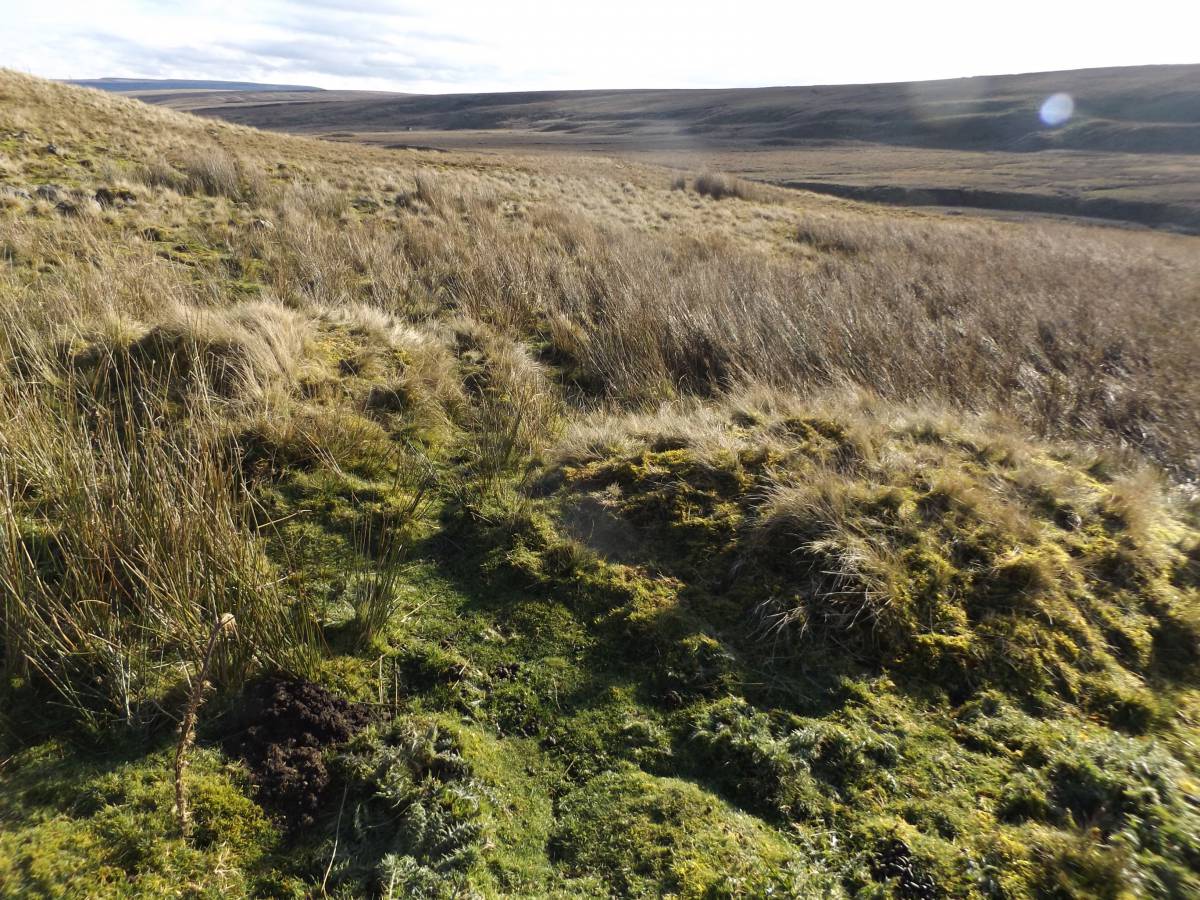
| Image 1 Description | The burnt mound, view eastward. | 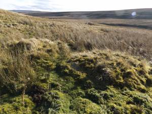 |
| Image 2 ID | 7035 Click image to enlarge |
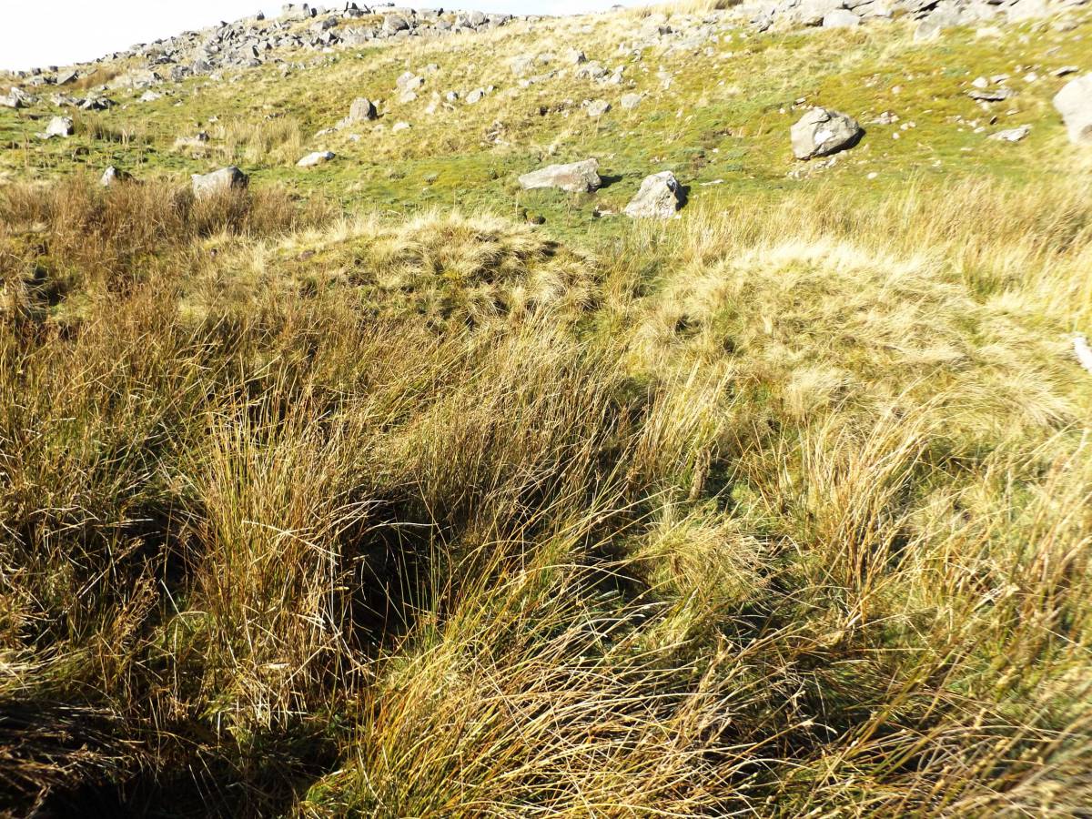
| Image 2 Description | The burnt mound, view westward. | 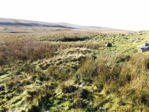 |
| Image 3 ID | 7037 Click image to enlarge |
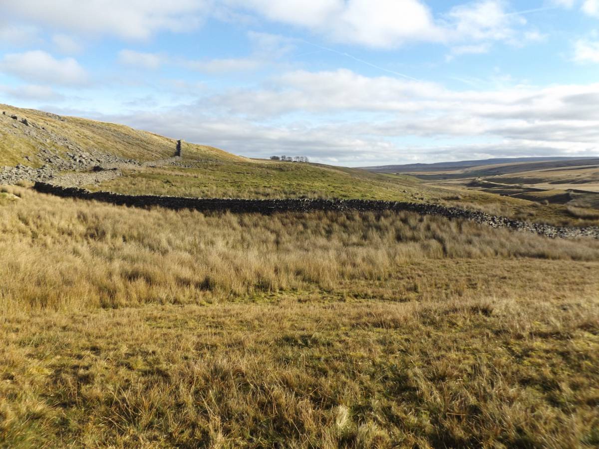
| Image 3 Description | The burnt mound, and the spring rise. |  |
| Image 4 ID | 7038 Click image to enlarge |
| Image 4 Description | The burnt mound and the spring rise seen from below. | 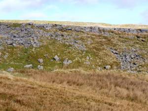 |
| Image 5 ID | 7042 Click image to enlarge |
| Image 5 Description | The shieling type settlements are located within and above these walled improved pastures, some 150m east of the burnt mound. |  |